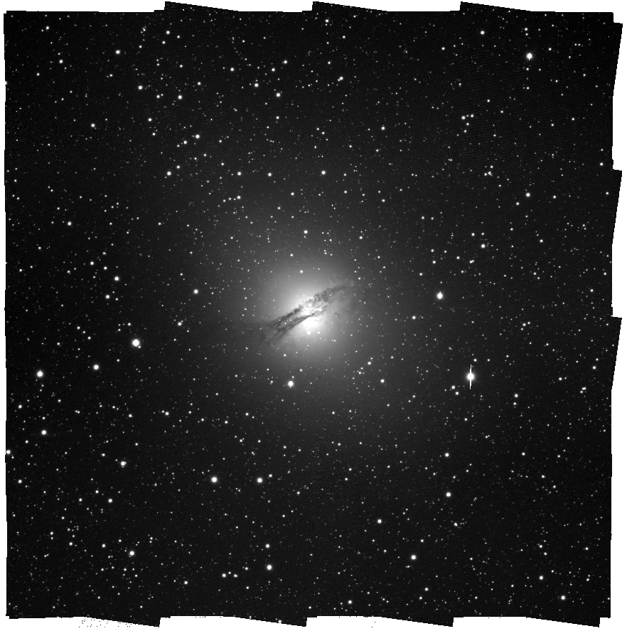
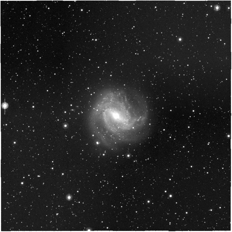
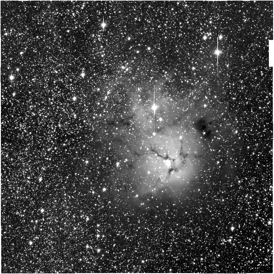
SkyMapper SIA+Montage: Multiple position query mosaics
The SkyMapper SIA service allows for individual images from the SkyMapper Southern Sky Survey to be retrieved in a variety of filters. The maximum size of each image is up to 10 arcmin across.
Here we mosaic together images from multiple 10 arcmin queries to the SkyMapper SIA.
We take a similar approach to our single 10 arcmin query mosaic example, with the key difference being that we determine a list of 10 arcmin SIA queries required to tile or fill in the requested mosaic image size.
A 10% overlap between each 10 arcmin tile is included and the size of the final mosaic may be slightly larger than requested.
Once this list is determined, all the data is downloaded to the same directory and proceed as before using MontagePy to build the mosaic (see also the Montage page).
This example forms part of a series of General Virtual Observatory Examples developed by Data Central.
There are some important caveats to this example:
- Depending on the sky position, the filter coverage of your object of interest may vary.
- The code has not been tested for very large mosaics (above 3 deg field-of-view). In a 3 degree mosaic of the SMC, this resulted in 400 individual 10 arcmin tiles, corresponding to over 1000 individual images to mosaic together. The files from such large queries may take some time to download and process, depending on your available bandwidth and computing resources.
- The SkyMapper DR3 data is only accessible from Australia. Those outside Australia may use the public (DR2) url. This is provided in the example, but is commented out in the source code.
- The masks provided by SkyMapper are usually enough to remove most imaging artefacts. It is a known issue that the DR3 masks have some issues that will be fixed in DR4. You may want to pre- or post-process some images (e.g. run LA Cosmic cosmic ray cleaning code), depending on your needs.
- The code currently uses the most thorough projection (mProject) and background correction approach. Less robust approaches may be taken (see the Montage documentation).
- The code only uses the main survey images (specified using the filter on image_type in the dataframe results of the SIA query). The short survey images are not used, but the code could easily be changed to use the short survey.
from astropy.io import fits
import matplotlib.pyplot as plt
#https://github.com/Caltech-IPAC/Montage/tree/main/python/MontagePy
from MontagePy.main import mImgtbl, mMakeHdr,mAdd,mOverlaps,mDiffExec,mFitExec,mBgModel,mBgExec, mProject, mProjectQL
from io import BytesIO
import numpy as np
import pandas as pd
import os
import re
import glob
import requests
from astropy.io.votable import parse_single_table
from contextlib import contextmanager
import multiprocessing as mp

#A function to create a set of 10 arcmin images (pointings) to fill a given image size
def get_pointings(qra,qdec,size):
    dtor = np.pi/180.0
    overlap = 0.1
    #size of each tile - 10 arcmin (max allowed by SkyMapper SIA at present)
    diam = 10.0/60

    #separation between tiles
    delta_ra = diam*(1-overlap)/np.cos(qdec*dtor)
    delta_dec = diam*(1-overlap)

    #number of tiles needed to create image of at least size across
    #this is not a perfect calculation, but should be fine for most applications
    ntiles = int(np.ceil(size/delta_dec))

    #lists to store tile centres
    x = []
    y = []

    sra = None
    sdec = None
    #if we have an even number of tiles
    if(ntiles % 2 == 0):
        #the field centre is at the centre of a grid of tiles (not in the centre of one of these tiles)
        #here we want the start ra,dec of the first tile to be [0][0] in the [tiles][tiles] matrix
        sra = qra - ntiles/2*delta_ra + delta_ra*0.5
        sdec = qdec - ntiles/2*delta_dec +delta_dec*0.5
    else:
        #odd number of tiles - easier as ra/dec already in centre of tile in centre of mosaic...
        nshift = np.floor(ntiles/2)
        sra = qra - delta_ra*nshift
        sdec = qdec - delta_dec*nshift

    #calculate the tile positions now that we have the first tile position
    for idx in range(0,ntiles):
        ra = sra + idx*delta_ra
        for jdx in range(0,ntiles):
            dec = sdec + jdx*delta_dec
            x.append(ra)
            y.append(dec)

    return (x,y)


#This is a helper function to ensure the multiprocessing pool starts and exits cleanly
#Kindly provided by James Tocknell (Data Central)
#Sourced from: https://github.com/aragilar/DiscSolver
@contextmanager
def nicer_mp_pool(*args, **kwargs):
    """
    Wrapper around multiprocessing.Pool - maybe look at forks or alternatives?
    """
    try:
        pool = mp.Pool(*args, **kwargs)
        yield pool
    finally:
        #terminate is usually called, which can break stuff if there's a problem
        pool.close()
        pool.join()

#A function to download files from the SIA service
#Science images are downloaded as-iss
#Mask images (bitmasks) are inverted to ensure they are Montage compatible
def dload(url,fname,mask=False):
    resp = requests.get(url)
    if(resp.status_code < 400):
        if(not mask):
            data = resp.content
            fptr = open(fname,'wb')
            fptr.write(data)
            fptr.close()
        else:
            #need to invert the masks for use with Montage
            #since the masks are floats, we convert to bool and back before inverting them
            hdu = fits.open(BytesIO(resp.content),mode='update',scale_back=True)
            dat = hdu[0].data
            dat = dat.astype(np.bool).astype(np.float64).astype(np.bool)
            dat = np.invert(dat).astype(np.float64)
            hdu[0].data = dat
            hdu.writeto(fname)
            hdu.close()

#returns the filters available for a given position
def get_filters(ra,dec,size):
    #url for accessing skymapper data from WITHIN Australia
    url = 'https://api.skymapper.nci.org.au/aus/siap/dr3/query?POS=%s,%s&SIZE=%s&RESPONSEFORMAT=VOTABLE&FORMAT=image/fits&INTERSECT=CENTER&VERB=3' % (ra,dec,size)
    #url for accessing skymapper data from OUTSIDE Australia
    #url = 'https://api.skymapper.nci.org.au/public/siap/dr2/query?POS=%s,%s&SIZE=%s&RESPONSEFORMAT=VOTABLE&FORMAT=image/fits&INTERSECT=CENTER&VERB=3' % (ra,dec,size)
    resp = requests.get(url,timeout=10)
    if(resp.status_code < 400):
        table = parse_single_table(BytesIO(resp.content)).to_table(use_names_over_ids=True)
        names = [name for name in table.colnames if len(table[name].shape) <= 1]
        df = table[names].to_pandas()
        #restrict our focus to the 'main' survey images
        df = df[df['image_type'] == 'main'].reset_index(drop=True)
        #optionally filter on the seeing in the image (here <= 3.0 arcsec)
        #df = df[(df['image_type'] == 'main') & (df['mean_fwhm'] <= 3.0)].reset_index(drop=True)
        return df['band'].unique()
    else:
        return []

def get_images(odir,im,ra,dec,size,band):
    #url for accessing skymapper data from WITHIN Australia
    url = 'https://api.skymapper.nci.org.au/aus/siap/dr3/query?POS=%s,%s&SIZE=%s&BAND=%s&RESPONSEFORMAT=VOTABLE&FORMAT=image/fits&INTERSECT=CENTER&VERB=3' % (ra,dec,size,band)
    #url for accessing skymapper data from OUTSIDE Australia
    #url = 'https://api.skymapper.nci.org.au/public/siap/dr2/query?POS=%s,%s&SIZE=%s&BAND=%s&RESPONSEFORMAT=VOTABLE&FORMAT=image/fits&INTERSECT=CENTER&VERB=3' % (ra,dec,size,band)
    resp = requests.get(url,timeout=10)
    if(resp.status_code < 400):
        table = parse_single_table(BytesIO(resp.content)).to_table(use_names_over_ids=True)
        names = [name for name in table.colnames if len(table[name].shape) <= 1]
        df = table[names].to_pandas()
        #restrict our focus to the 'main' survey images
        df = df[df['image_type'] == 'main'].reset_index(drop=True)
        print (df)
        #optionally filter on the seeing in the image (here <= 3.0 arcsec)
        #df = df[(df['image_type'] == 'main') & (df['mean_fwhm'] <= 3.0)].reset_index(drop=True)
        for idx, row in df.iterrows():
            ofname='%s/%d-%d.fits' % (odir,im,idx)
            print ('Downloading ',ofname)
            dload(row['get_fits'],ofname)

            ofname='%s/masks/%d-%d.fits' % (odir,im,idx)
            print ('Downloading ',ofname)
            dload(row['get_mask'],ofname,mask=True)
        return 1
    return 0

#A wrapper function for the projection, in case we want to call different methods
#This is mostly to help pass different parameters that cannot easily be passed using zip()
def WrapperProject(inp,output,template,weight):
    #most thorough projection method
    mProject(inp,output,template,weight_file=weight)
    #alternative quicker way to do projection - have to set noAreas to false
    #to ensure area files are generated (they are not generated by default).
    #mProjectQL(inp,output,template,weight_file=weight,noAreas=False)

#This is needed in order to run the multiprocessing pool
if __name__ == '__main__':

    #10 arcmin tiles
    qsize = 10.0/60
    #0.5 degree mosaic size
    qmosaicsize = 0.5

    obj = 'Centaurus A'
    #recommended to use multiprocessing as projection of all images takes some time
    USE_MULTIPROCCESSING = 1
    #USE_MULTIPROCCESSING = 0

    #Skymapper filters:
    #u v g r i z
    #get_filters queries the SIA service to find out what filters are available
    #If you want to specify just one filter, this can be done as:
    #for mnum in range(88,110):
    #Use the CDS SIMBAD name resolver service to get RA and DEC of the object.
    url = "https://simbad.u-strasbg.fr/simbad/sim-nameresolver?Ident=%s&output=json" % obj
    simbad = requests.get(url).json()
    qra = simbad[0]['ra']
    qdec = simbad[0]['dec']

    (ra_cen,dec_cen) = get_pointings(qra,qdec,qmosaicsize)

    #if you want to create multiple mosaics
    #filters = get_filters(qra,qdec,qsize)
    #to create just a single band mosaic, in this case i-band
    filters = ['i']
    for qband in filters:
        qdir=re.sub(" ","",obj) + qband
        print (qdir)
        imtable = qdir + '/images.tbl'
        header = qdir + '/images.hdr'
        projdir = qdir + '/proj'
        pimtable = projdir + '/images.tbl'
        mosaic = qdir + '/' + qband + '.fits'
        difftable = projdir + '/diff.tbl'
        fitstable = projdir + '/fits.tbl'
        corrtable = projdir + '/corr.tbl'
        diffdir = projdir + '/diff'
        corrdir = projdir + '/corr'
        maskdir = qdir + '/masks'
        if(not os.path.exists(qdir)):
            os.mkdir(qdir)
        if(not os.path.exists(projdir)):
            os.mkdir(projdir)
        if(not os.path.exists(diffdir)):
            os.mkdir(diffdir)
        if(not os.path.exists(corrdir)):
            os.mkdir(corrdir)
        if(not os.path.exists(maskdir)):
            os.mkdir(maskdir)

        #download all the data...
        for idx in range(0,len(ra_cen)):
            rtn = get_images(qdir,idx,ra_cen[idx],dec_cen[idx],qsize,qband)

        #We use Montage to do the mosaicking: see
        #http://montage.ipac.caltech.edu/docs/index.html
        #and
        #https://github.com/Caltech-IPAC/Montage/tree/main/python/MontagePy
        #and
        #https://github.com/Caltech-IPAC/MontageNotebooks

        #create a table of the images to be worked on
        rtn = mImgtbl(qdir, imtable,showCorners=True)
        print (rtn)
        #create a header that encompasses all the images
        rtn = mMakeHdr(imtable,header,northAligned=1)
        print (rtn)
        images = glob.glob(qdir+'/*.fits')

        if(USE_MULTIPROCCESSING):
            #create args for mProject as lists - needed for calling with starmap
            #as part of multiprocessing pool
            img_src = []
            img_proj = []
            img_header = []
            img_weight = []
            for im in images:
                im = re.sub(".*\/","",im)
                img_src.append(qdir+'/'+im)
                img_proj.append(projdir+'/'+im)
                img_header.append(header)
                img_weight.append(maskdir+'/'+im)
            #number of processes to run
            nworkers = min(len(images),mp.cpu_count()-1)
            print ("Projecting images using %d workers" % (nworkers))
            with nicer_mp_pool(nworkers) as pool:
                #project the images using the bitmask as the weight_file
                for result in pool.starmap(WrapperProject,zip(img_src,img_proj,img_header,img_weight)):
                    #we are only interested in running the function, so we do nothing here
                    pass
            #we are done with the pool...

        else:
            for im in images:
                print ("Projecting ",im)
                im = re.sub(".*\/","",im)
                #project the images using the bitmask as the weight_file
                rtn = mProject(qdir+'/'+im,projdir+'/'+im,header,weight_file=maskdir+'/'+im)

        #create a table of all the projected images
        rtn = mImgtbl(projdir, pimtable)
        print (rtn)
        #steps necessary for proper background handling...
        rtn = mOverlaps(pimtable,difftable)
        print (rtn)
        rtn = mDiffExec(projdir,difftable,header,diffdir)
        print (rtn)
        rtn = mFitExec(difftable,fitstable,diffdir)
        print (rtn)
        rtn = mBgModel(pimtable,fitstable,corrtable)
        print (rtn)
        rtn = mBgExec(projdir,pimtable,corrtable,corrdir)
        print (rtn)
        print ("Creating final mosaic: ",mosaic)
        #finally create the final mosaic
        rtn = mAdd(corrdir,pimtable,header,mosaic)
        print (rtn)
        #if the above steps for background handling (mOverlaps..mBgExec) are skipped,
        #then mAdd can be run on projdir alone
        #rtn = mAdd(projdir,pimtable,header,mosaic)
        #print (rtn)


